
Abel Mathew
CEO & Founder
Lesoko runs the full aerial-data pipeline in-house — flight, processing, engineering analysis and delivery — so nothing about your infrastructure is left to guesswork.
500+
Projects Completed
50+
Industry Partners
99.5%
Accuracy Rate
24 Hrs
Available
Who we are
16 +
Industrial verticals served
Pan - India
Chennai
HQ in Mylapore, with a branch office in Tiruchirappalli
2018
Founded
Lesoko Technologies is a DGCA-certified Drone-as-a-Service company providing end-to-end aerial data capture, in-house processing, analytics and engineering-ready deliverables across industrial sectors in India.
We combine UAV data capture, industrial inspection, surveying, monitoring and digital platforms to help energy and infrastructure organizations make faster, safer, data-driven decisions.
Our Vision & Mission
To be World's most trusted and innovative drone-tech company, leading the transformation of traditional industries through autonomous aerial intelligence, while upholding safety, sustainability and data excellence at every altitude.
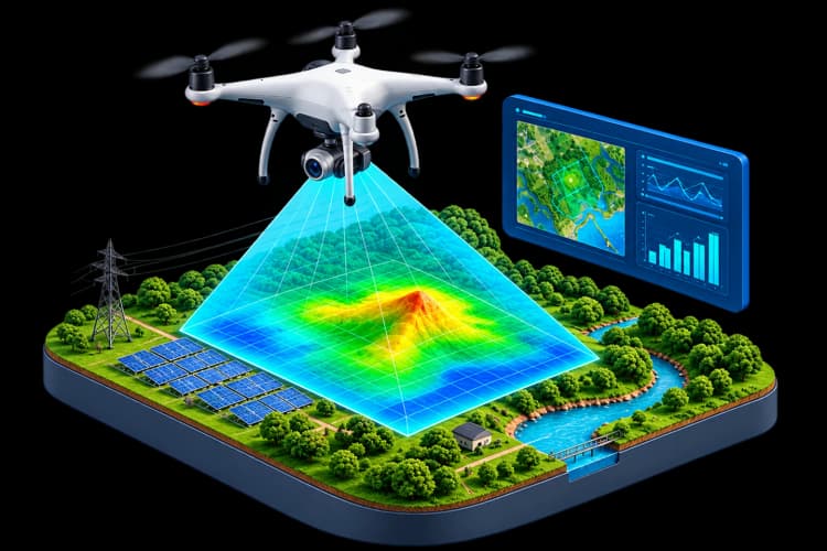

To revolutionize the way industries capture, process and act on spatial data by delivering drone technology solutions that are safer, faster and more intelligent — empowering clients to make better decisions with precision-driven insights.
Our story
We didn't buy a fleet of drones yesterday. Lesoko has spent eight years evolving alongside India's UAV regulatory landscape — from early geospatial mapping to proprietary, AI-driven infrastructure.
01
Year 1-2 .
The Foundation
Entered the geospatial industry mastering complex rooftop as-built drawings and foundational land surveys, establishing a rigorous approach to ground control.
02
Year 3-5 .
Scaling Enterprise Operations
Entered the geospatial industry mastering complex rooftop as-built drawings and foundational land surveys, establishing a rigorous approach to ground control.
03
Year 6-7 .
Sovereign Infrastructure Integration
Entered the geospatial industry mastering complex rooftop as-built drawings and foundational land surveys, establishing a rigorous approach to ground control.
04
Year 8- Present .
Advanced AI & Custom Platforms
Entered the geospatial industry mastering complex rooftop as-built drawings and foundational land surveys, establishing a rigorous approach to ground control.
What we believe
Four commitments shape how we build and operate, from the first flight plan to the final deliverable.
Flight, processing, engineering and delivery run through the same team — nothing is outsourced along the way, so no data ever changes hands.
Our own on-premise server clusters replace public cloud processing, giving clients zero-egress control over sensitive infrastructure data.
A 100% in-house flight team of DGCA-certified remote pilots operates under strict NPNT and DigitalSky protocols on every mission.
Every deliverable is validated against independent blind checkpoints and aligned to each client's own EPSG coordinate systems.
The people behind Lesoko
CEO & Founder

Director

Director & Business Development

Product & Technical Manager

Pilot & Operations Manager

GIS Manager